Chart of the Mediterranean
Chart of the Mediterranean | Stampe | PHILIP GEORGE & son
Stampe
PHILIP GEORGE & son
1859
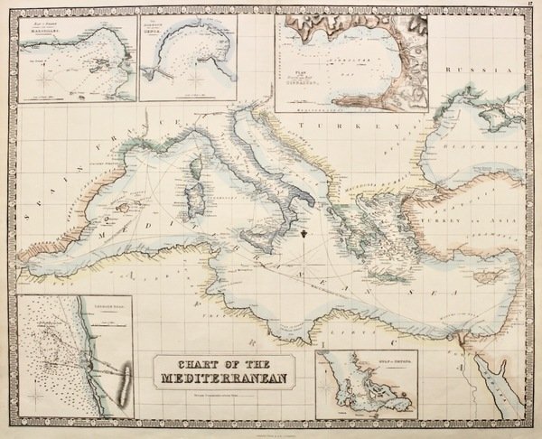

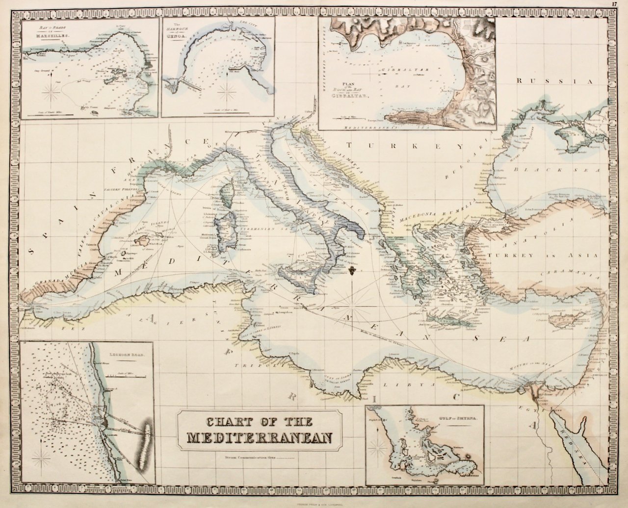
Chart of the Mediterranean
Chart of the Mediterranean | Stampe | PHILIP GEORGE & son
Stampe
PHILIP GEORGE & son
1859
320,00 €
(Verona,
Italia)
Metodi di Pagamento
- PayPal
- Carta di Credito
- Bonifico Bancario
- Pubblica amministrazione
- Carta del Docente
Dettagli
- Anno di pubblicazione
- 1859
- Luogo di stampa
- Liverpool
- Incisori
- PHILIP GEORGE & son
- Soggetto
- Mediterraneo
Descrizione
Litografia a colori, mm 510x630. Tratta da "The Philips New General Atlas". Vi sono 5 riquadri relativi a Marsiglia, Genova, Gibilterra, Livorno e Smirne. Perfettamente conservata. € 320<BR>Litograph, original printed colour, mm 510x630. This interesting chart of the Mediterranean was published in "The Philips New General Atlas", George Philip & Son London & Liverpool. Around the main map are smaller maps of Leghorn Road, Livorno, the Gulf of Smyrna, the Bay of Marseilles, the harbour of Genoa and a plan of the Rock and Bay of Gibraltar. The map is surrounded by a distinctive and decorative piano-key border. Very good condition. <BR>
