The World War in Maps
The World War in Maps | Libri antichi e moderni | Goodall, George (Editor)
Libri antichi e moderni
Goodall, George (Editor)
George Philip & Son Ltd,
1942
The World War in Maps
The World War in Maps | Libri antichi e moderni | Goodall, George (Editor)
Libri antichi e moderni
Goodall, George (Editor)
George Philip & Son Ltd,
1942
7,50 €
(Hyde,
Regno Unito)
Metodi di Pagamento
- PayPal
- Carta di Credito
- Bonifico Bancario
- Pubblica amministrazione
- Carta del Docente
Dettagli
- Anno di pubblicazione
- 1942
- Luogo di stampa
- London
- Autore
- Goodall, George (Editor)
- Editori
- George Philip & Son Ltd
- Formato
- 7.5 x 10 inches
- Soggetto
- Second World War, Maps, Resources.
- Descrizione
- S
- Sovracoperta
- False
- Stato di conservazione
- Molto buono
- Legatura
- Brossura
- Copia autografata
- False
- Prima edizione
- False
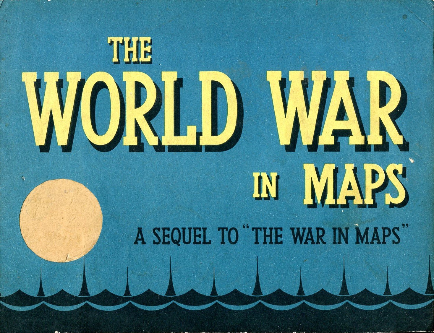
Descrizione
No marks or inscriptions. Minor creasing to upper corners. A very clean very tight copy with bright unmarked slightly rubbed covers and no bumping to corners. 33pp. A fascinating collection of maps in colour showing WW2 events and campaigns, essential industrial resources and even a German map with dates shown across Europe setting out the German expectation to have conquered each country by then. Britain was dated 1948.
